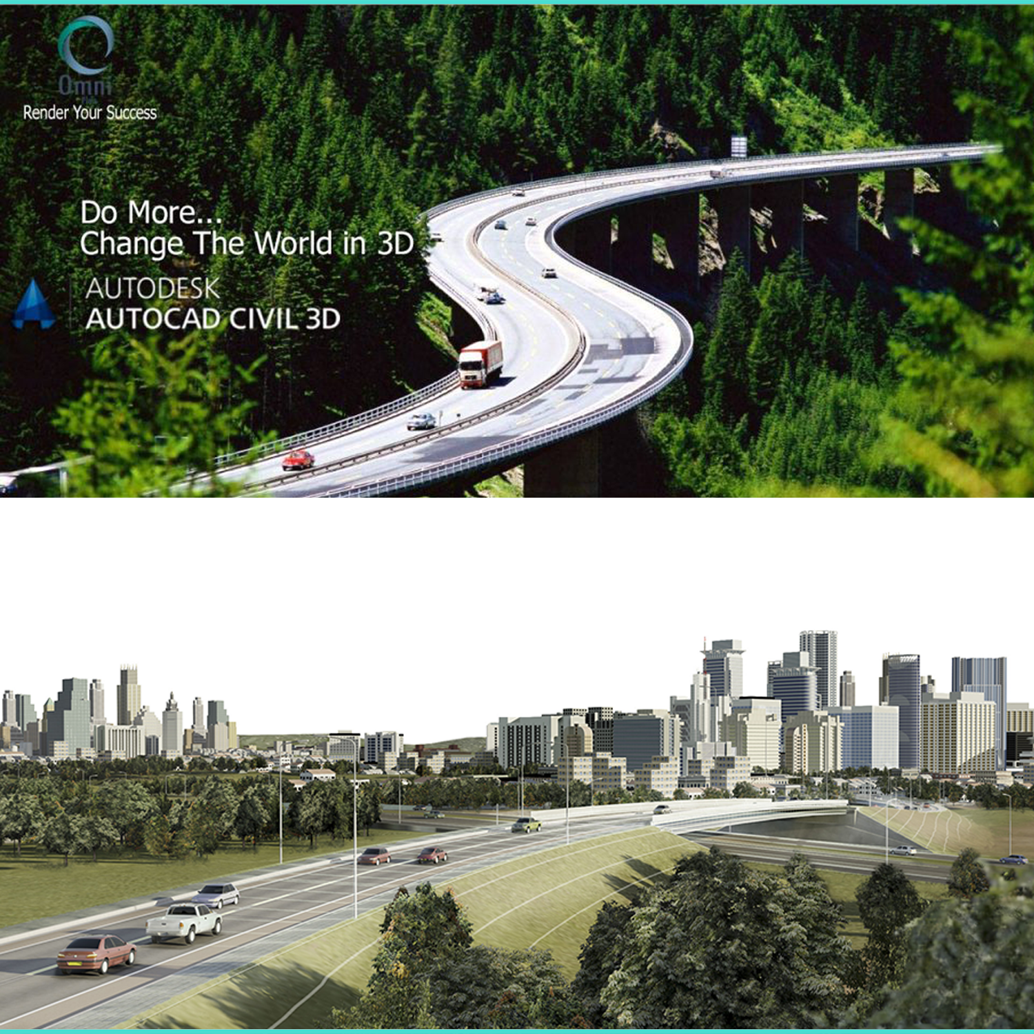
Autodesk AutoCAD Civil 3D
Course Information
Overview
نسعى في هذه الدورة الى تمكين المهندس من استخدام البرنامج بشكل محترف من خلال تفاعله مع مدرب مهندس ممارس للبرنامج في بيئة عمله و ان يسعى الطالب الى استخلاص ما هو مهم و اهم في خفايا البرنامج و نسعى الى تخريج مهندسين قادرين على اسقاط ما تعلموه في بيئة عملهم و تحسينها.
تعتمد الدورة على الامثلة العملية في كيفية رسم الطرق بمقاطعها الطولية و العرضية و الخطوط التصميمية للشارع و شبكات المياه و الصرف الصحي و طبقات الطريق و لنقاط الرفع المساحي . و سيتقن الطالب ايضا نقاط الرفع المساحي و المنحنيات الافقية و الرأسية و .تسوية سطح التربة و الاعمال الترابية و سيتعلم اخراج المخططات و اللوحات الهندية بشكل فني
To download Student free version : CIVIL3D
Objectives
The Autodesk Subassembly Composer for Autodesk AutoCAD Civil 3D provides a strong set of subassembly functionality for corridor modeling:
- Define points using several methods.
- Define links between points.
- Define shapes surrounded by links.
- Define advanced geometry elements, such as curves, fillets, and intersection points.
- Get and set marked points.
- Define auxiliary geometry elements as a basis for other subassembly geometry elements.
- Assign point, link, and shape codes.
- Define targets and input/output parameters .
- Organize geometry elements, or add conditional behavior.
- Define and set variables.
- Define complex logic with expressions and API functions.
Audience
Infrastructure Engineers
Surveyors
Survey Students
Civil Engineers
Civil engineering Students
مهندسي الطرق و الجسور
مهندسي البنية التحتية
مهندسي المساحة
طلاب هندسة المساحة
طلاب الهندسة المدنية
Outline
- Module 1:Introduction
- Program history and why we use for civil 3D.
- Take about infrastructure and how it relate to CIVIL 3D
- Explain the interface of the program
- Module 2: Points
- How to import point from (excel, text, survey points) in different ways
- create manual points
- How to create points groups
- How to create new styles and modify existing styles
- How to create a new classification
- Description key site
- Table Data
- Convert AutoCAD drawing to civil 3d drawings. (Convert CAD points and Block point to civil 3D points )
- Module 3: Grading
- How to draw feature line in different ways
- How to make grading in different ways
- How to modify grading style
- How to calculate volumes of cut and fill , and how we can balance between them
- How to draw a channel
- How to draw water pool
- Project
- Module 4: Parcels
- How to draw parcels and edit parcels
- How to draw parcels from alignment (right of way offset alignment)
- How to create parcels from CAD drawings.
- How to make classification, expression and style.
- How to insert dimension and coordination.
- Data table
- Project
- Module 5: Surface
- How to create surface in different ways and what the point insert to.
- Calculate Surveying Quantities
- How to add different type of labels on the surface
- How to use Boundary and Break lines
- How to modify surface properties and style
- How to know drainage path and do different analysis for surface
- How to get information from surface (Data table)
- How to calculate Surveying Quantities (Cuts and Fills) for different surface
- How to use parcel and boundaries for the Calculate Surveying Quantities
- Module 6: Roads
- Theoretical review for high way, and road components
- How to draw the alignment in different way and make super elevation
- How to make profile for existing ground and how to draw proposed profile
- Sample line and how to make section along the road
- How to create Assembly and subassembly
- How to make corridor and start driving.
- Adding labels, Table of data, calculate cut/fill and construction materials (pave, base, sub base …)
- Module 7: Networks
- Explain the components of networks and how we can prepare this component and modify it. (Part list, rule sits,)
- How draw Gravity network in different ways.
- Modify the networks (join, dived …)
- Make profile for network and modify profile properties and add new bands.
- Add labels and data table.
- How to calculate Surveying Quantities (Cuts and Fills) for (pipe & structure)
- How to draw pressurized networks.
- How to cheek clashes.
- export to infrawork 360
- Module 8: Sharing data


